Services
To better use the data under consideration,we created an ecosystem of useful products around this data and plan to create a variety of applications
Using these applications of the data and powered by the Eo-learn library we created these applications.
Land use classification
Identifying usage of land from satellite imagery
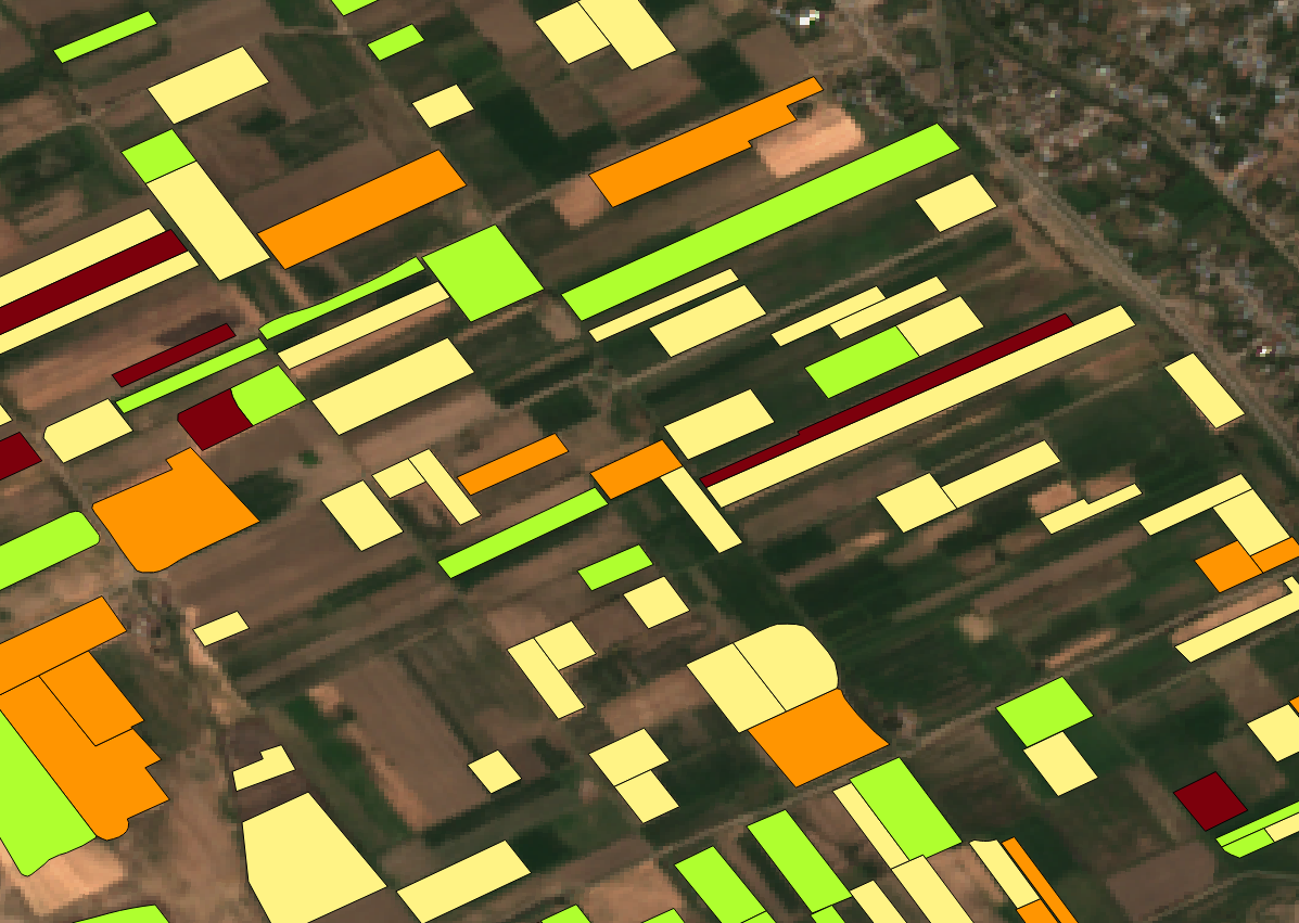
Identifying crop type from a provided image
Identifying the crop type in the image using NDVI masks
Change Detection
Finding change detection in land topography using images through a Web-API
.png)